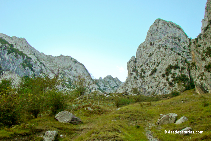
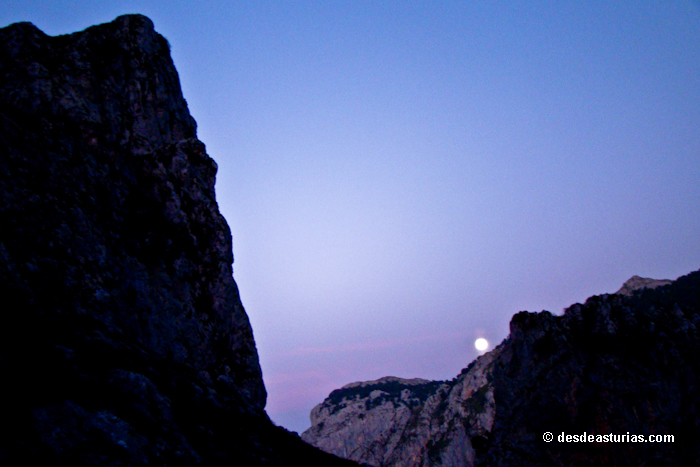
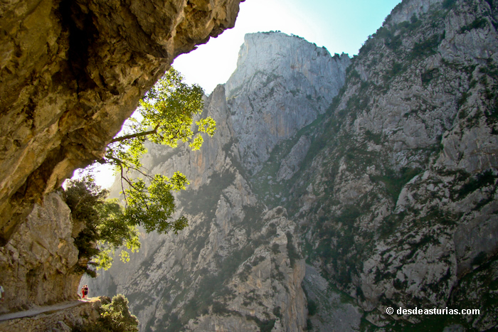
El Los Lagos-Ostón-Poncebos tour, this may be the fastest way to summarize a mountain route in which we will spend practically the whole day, between 7 and 8 hours of duration, so in addition to the time allowed, we must be physically prepared to face the trip.

Great return to the Picos de Europa
A comprehensive tour with accommodation included through the Picos de Europa. Five days to get to know in depth the spectacular landscapes of this national park….
On our way, in addition to admiring the landscape of the sheepfolds, we link with another long route: The Route of the Reconquest, so called because, according to the prestigious historian D. Claudio Sánchez Albornoz, the defeated Arabs fled at the battle of Covadonga. In our journey we see firsthand (looking out over the natural balconies that this route gives us) the orographic difficulties faced by the Muslim troops that were defeated from the battle. The fleeing army met with the Cares River gap that separates the Cornión from the Central Massif. It was an anguished moment, like a dead end. A deep sickle prevented them from moving forward. The chroniclers say that by taking as guides the shepherds, they managed to descend from the sheepfolds of Ostón through the Canal de Culiembro. We will pass through there.
We start the route
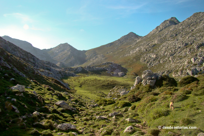
Already in the Lakes, We leave the car in Buferrera car park and we take the path that leads us to Lake Ercina. We descend to the source of La Texa and the first of the flocks that crosses our path: the flock of the Llomba. We follow route and very soon we conquer the Belbín Majada, wide and beautiful prairie full of cabins perfectly rehabilitated where the cheese is made and matured Gamoneu in the variety of "Gamoneu del Puertu". The sensation of stillness and tranquility overwhelms us, knowing that we tread exclusive territories of the shepherds and their flocks. We also feel like intruders that can upset an ancestral balance. Las Majadas are all publicly owned, managed by the pastors themselves when they are constituted and organized in their own government institutions. The sheepfolds are a kind of minimal towns, inhabited temporarily during the summer, that always recreate a deep humanized landscape, with the own cabins parceled by stone walls, where they resound the mooes of the cows, the barks of the dogs that accompany the goats, cowbells and voices of shepherds gathering their cattle.
We were in Belbín. A little further on, we leave another smaller fold on the side of the road: the Güelga, and after a steep ramp we reach the flock of Parres. Lovely. We continue climbing and after a while we enter the flock of Arnaedo where there is a magnificent source to refuel and refresh a little.
Alternative route “Las Majadas del Cornión”
From Arnaedo's sheepfold We can take an alternative route, converting our itinerary into a circular route, heading towards the Bobias sheepfold and from there to ercina lake and Buferrera area from which we started. This circular option would actually be what is known as the route of the Cornión sheepfolds, and can be done in about 6 hours to travel the total 13 kilometers in a circular way (Buferrera – Majada de Belbín – Majada de Parres – Majada de Arnaedo – Majada de las Bobias – Lago Ercina – Buferrera).
If we continue with our initial idea of completing the entire Ruta de las Majadas, the itinerary is linear and only one way to Poncebos. A route that becomes much harder, reaching 30 kilometers and approaching 10 hours of walking.
Complete route of the Majadas
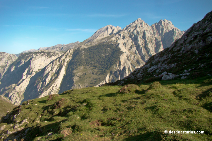
In the Arnaedo sheepfold we have been walking for about 2 hours. We arrive at Collado de Sierra Buena (1.400 meters), the highest point of our tour. From here we glimpse magnificent panoramic views of the central massif of the Picos de Europa, with its "Torrecerredo" roof and the "Cabrones peak" on its left.
We continue route and shortly after we see the majestic Vega Maor. We go into it, it is much bigger than it seemed in the distance. We crossed the deep fertile plain and finally found the flock that bears his name. From here the descent is unstoppable and takes us straight to the famous Ostón, located in an incomparable place and one of the highlights of our march. With its cabins built on a kind of hanging rock it turns out to be a small Machu Pichu. A terrace or landing with an elegant bow, called the Pico de Ostón, to which we climbed in just ten minutes, and which turns out to be an insurmountable watchtower on the throat of Cares. The perspective of the high summits of the Urrieles is no less overwhelming. It is very comforting to enjoy the food in this magnificent place. Very close there is a fountain in which to fill the canteens. The spring is not exactly in Ostón, but in Valdelafuente, about 7 minutes from the flock, to the left of it; the cattle paths lead to it.
After a well-deserved holiday in this dreamy place, after filling our eyes with the panoramic views that it allows from its 970 meters of altitude, it is time to go down the famous Culiembro Channel. A long descent in zig-zag that leads to the Majada de Culiembro and that puts our tired legs to the test. A few meters below the flock you will arrive at Puente Pando, on the Cares River. After crossing it we connect with the archifamosa Path of the Cares. On the left we continue towards Poncebos. In the other sense, Cain would be reached.
We still had about five kilometers to Poncebos, with the ascent to the colladinas as "puntilla" of our unforgettable and hard-working excursion.
Can be done the route in reverse, departing from Poncebos to Lake Ercina. In both directions, the convenience is that the transport will wait for us at the end of the journey, either in Poncebos or in the Buferrera car park.
Information:
Facts to consider
Plan departures according to weather forecasts. Both the intense sun and the bad weather are factors to be taken into account.
Always communicate to someone the route we plan to undertake.
Wear appropriate footwear (trekking or high mountain boots) that hold the foot well. Cotton or thread socks prevent sweating and blisters.
Do not load the backpack with useless and unnecessary things.
A flashlight can get us out of trouble if the excursion is extended.
It is not necessary to carry a complete first-aid kit, but it is necessary to carry a bandage, plasters, adhesive tape, hydrogen peroxide and paracetamol.
Under no circumstances should any type of waste or garbage be thrown on the ground (plastics, cans, wrappers, bottles, etc.). The orange, bread, etc. They are biodegradable, but very unpleasant.
A transmitter or mobile phone can be very useful in the mountains.
Text: © Ramón Molleda for asturias.com

Maximum height: 1423m
Minimum height: 253m
Ascent slope: 2631m
Descent slope: -2616 m
Time spent: 08:36:34
Itinerary: One way, Covadonga - Poncebos