In each rural nucleus where there was a river or water there was a miller who milled for all the neighbors in exchange for a part of the milling. In them the neighbors of the town to conceyu also met. The fact of being a benchmark for the economy of the community, as well as a refuge always hidden and crouched between the riverbanks, turned the mills into legend object, especially in the matter of rumors about love affairs and sinful goings-on that took place inside.
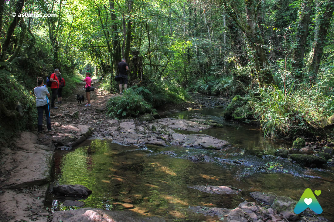
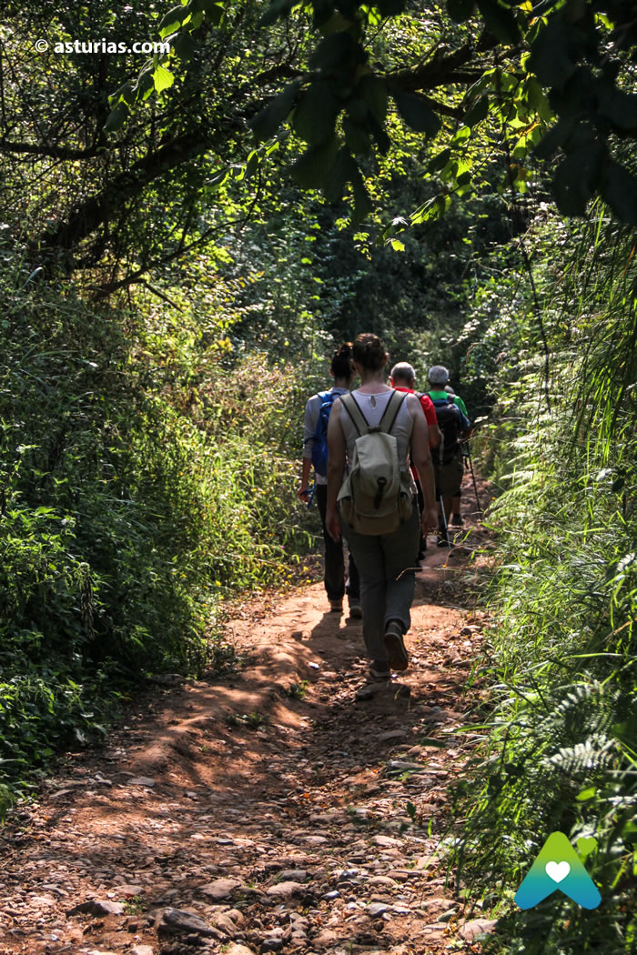
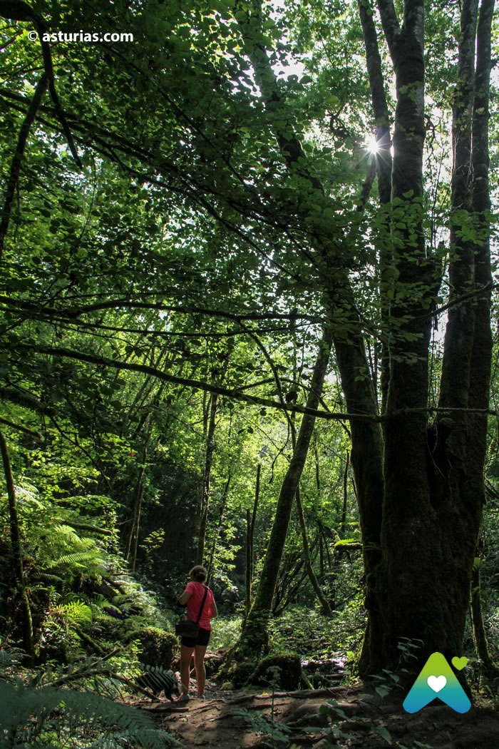
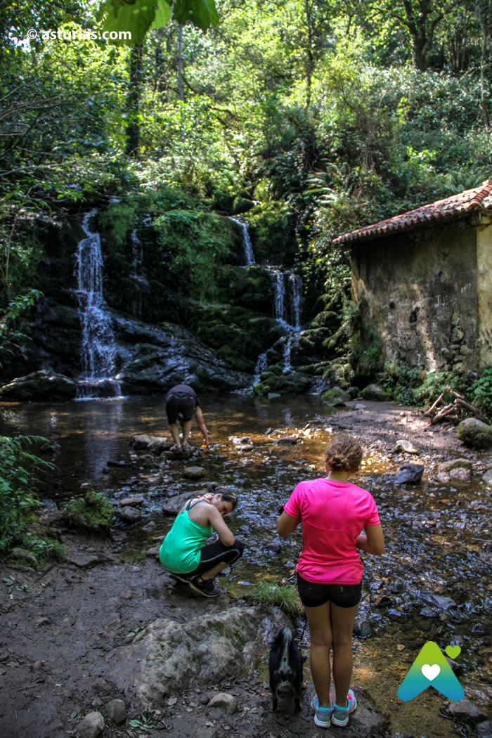
All this ethnographic and cultural wealth of the water mills in Asturias is perfectly represented in the Route of the Profundu, in the council of Villaviciosa. A shady path -in summer it is appreciated- but very beautiful that runs parallel to the river. In our walk we will observe the locations of the old mills, granting merit and meaning to an activity that fed entire villages. Throughout our journey we will discover a total of 19 mills, some of them in ruins, others in semi-ruin and some others in a good state of conservation.
The Profundu Route: Where does it start?
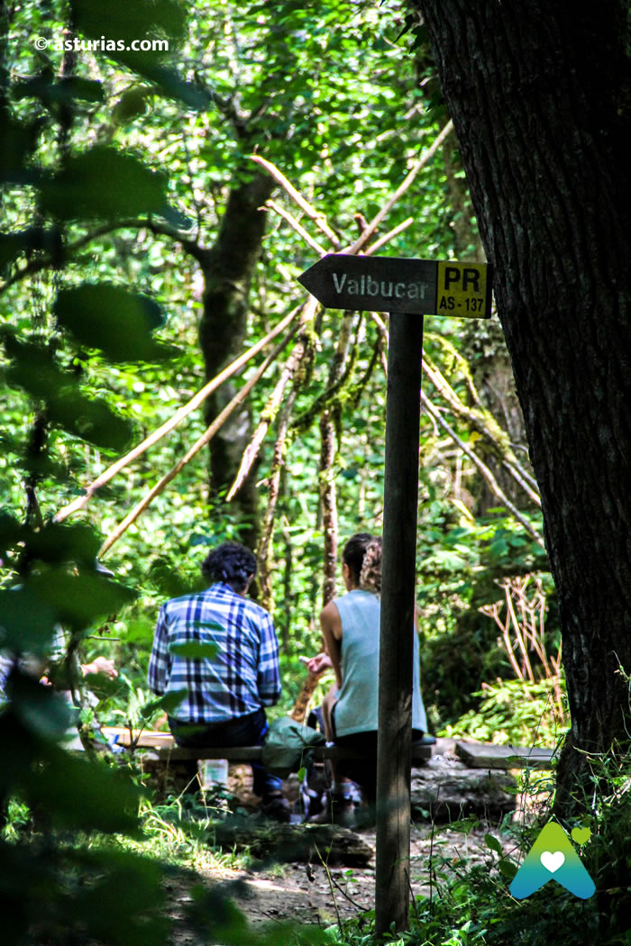
The Route of the Molinos del Ríu Profundu It starts in the Buslaz neighborhood (in Breceña, Villaviciosa) to Valbúcar, (Amandi, Villaviciosa), although you can also choose to go up the river and do the opposite way: from Valbúcar to Buslaz. Is about 7,4 kilometers for a walk through the lush vegetation. In total about 3 hours of walking, one way only. So the best thing is usually that someone comes to pick us up with their vehicle at the end of the path, either in Buslaz or in Valbúcar.
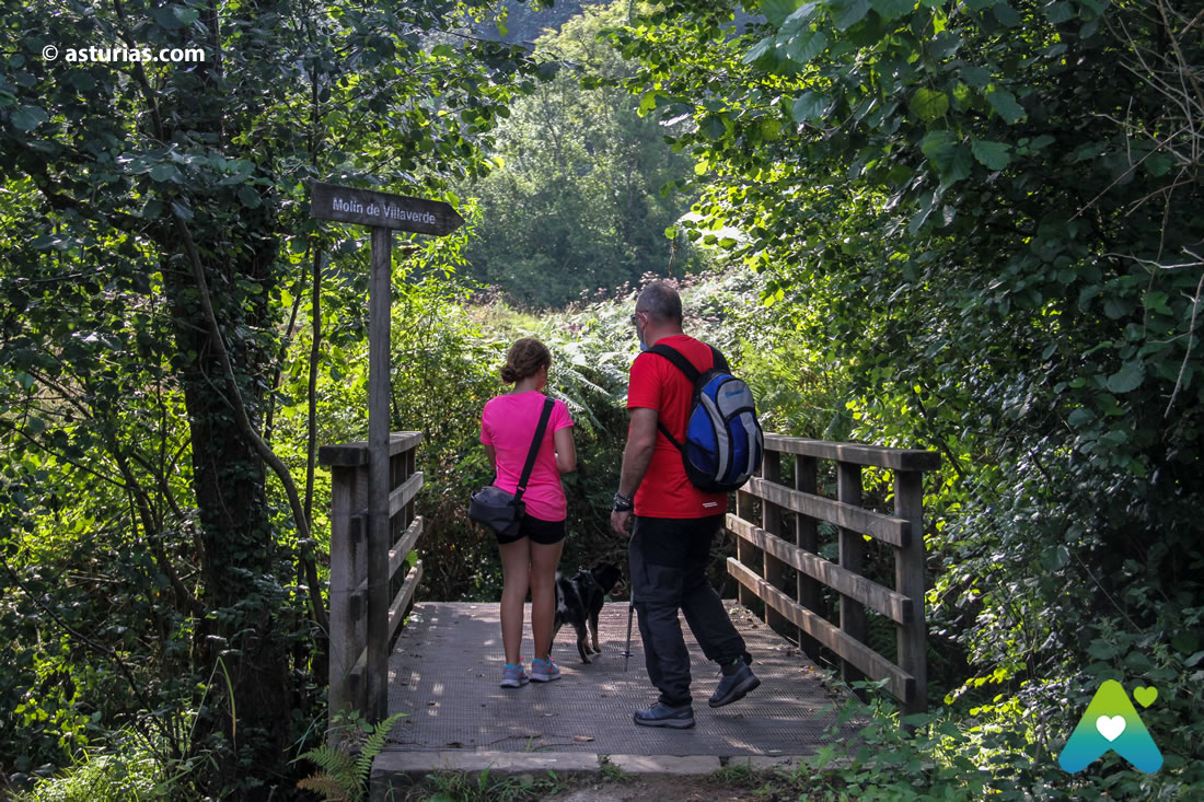
If we start from Valbúcar, shortly before arriving at a well-known farm, La Finca de la Vega, we will take a path that starts from the same road and in the initial section an explanatory panel of the route is raised. We walked along the path bordering this farm until we reached the riverbed. Nearby you can see the first of the mills: El Molín de Griselda. Then we will go closer to the neighborhoods of Les Veges and Villaverde, where we will see the Molín de Villaverde. At this point the path ends and we exit to a paved road through which we have to travel some 400 meters before finding a black hatch that brings us back to the path. We will continue up the river to the Molin del Profundu. Of which only its four walls remain.

From this point the road takes an ascending sense. We will see the remains of Molin de Trabanco, the only one of the route that had an annexed house, then the Molin del Pitu. In the area of the parish of Coru We reach the remains of Molín de Joé Xico and a few meters from this we find the Molín de la Perea.
After leaving behind these last mills we come to an open area of meadows, we will always be stuck to the river bed until we reach a forest area and we will find the ruins of the mills of Perniles yd'Arriba. Meters later we will cross the riverbed by a footbridge of concrete that leads us to a forest track and a second area of meadows. At this point we will take the track to the left and we will border the valley. Further ahead we find ourselves with a bifurcation. Here we will take the road on the right until we reach the remains of Molín de Pascual. For a flat section that runs partly through the old channel of this mill we will reach a new fork where the Molín de Lalón is located. We take the ascending path to the right until Molín de La Ullina. We climb some old stairs, we go through a forest of poplars that will take us to the unique setting of Molín de la Peña and its waterfall. We continue along the path that goes up the left bank of the waterfall on the way to Molín del Esprón. From here, and after crossing a new area of pasture, we come to another forest area in which we will see the mills of Rea, Peruya, Rosicu and d'Arriba, with very little distance between them. The Molín d'Arriba is the mill that is in the best state of conservation of the entire route.

Finally we will continue up the river until we reach a track that will take us, after an ascent of one kilometer, to the town of Buslaz.
In our walk, besides the landscape and the ethnographic manifestation that make up 19 mills, we can enjoy the attractions of riverside parishes through which the river runs: Breceña, Coru, Lugás, Fuentes, Amandi.
The path lies well marked and preserved. On it there are tourist-type brochures for free distribution and a more detailed guide, the result of the research of the young local chronicler Rafael Balbín.
Text: © Ramón Molleda for asturias.com

Maximum height: 346m
Minimum height: -9 m
Ascent slope: 510m
Descent slope: -473 m
Time spent: 05:37:26