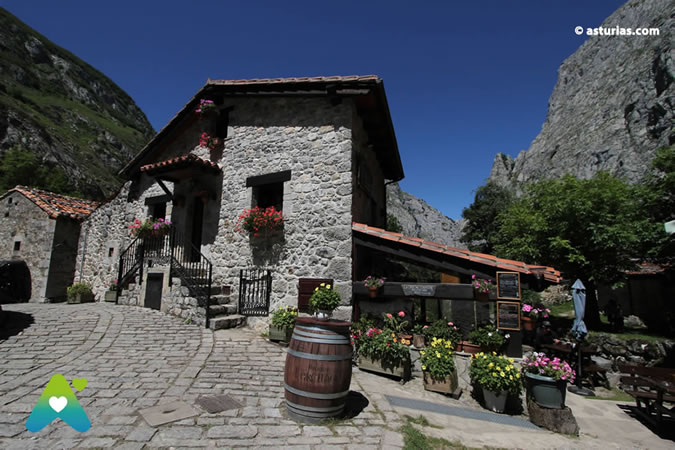
In the past, when the town of Bulnes had a multitude of inhabitants and they lived on livestock, they needed spaces to take their flocks to them, among these places is the Majada de Arnández.
The hike to this beautiful spot will take a leisurely hour, with an elevation gain of only 350 meters . The mountain pasture sits at an altitude of over 1.000 meters above sea level and is off the beaten track, allowing you to enjoy complete tranquility while gazing at the imposing mass of Picu Urriellu (Naranjo de Bulnes) before you. The hike is considered easy.
Great return to the Picos de Europa
A comprehensive tour with accommodation included through the Picos de Europa. Five days to explore the spectacular landscapes of this national park in depth… Read more
Where does the route start?
To reach our destination, we'll need to leave Bulnes along the path that leads to the Naranjo viewpoint and the Pandébano pass , which starts near the bridge next to the church. After a few minutes, we'll arrive at the aforementioned viewpoint (a little off the path), from which we'll see the Picu and, to our right during periods of rain or snowmelt, a waterfall (Las Mestas Waterfall) and beyond it, a narrow gorge that leads into the Balcosín Canal. Also, depending on the time of year, we might have the opportunity to see a powerful gush of water emerging from between the rocks (a "farfau"), a result of the numerous caves and sinkholes in these mountains that collect rainwater and snowmelt. Behind us will be the two villages of Bulnes, and in the distance, the Amuesa Canal.
We continue the route between meadows and hazel trees that define the path. We must always follow the most marked path discarding any other that we can find on the right.
After a half hour of constant walking, we will reach a point where we have to cross the river and we will see a cabin located on the top on our right. We are in El Cantiellu. If we go up to the cabin and look north, we will have a magnificent view of the entire Bulnes valley with its two neighborhoods and the Amuesa Canal.
Let's go back to the road next to the river. Coming from Bulnes and before crossing the river, there is a road to the left that goes up to a meadow located just opposite the cabin that we saw earlier on our right and to which we will now turn our back to climb the prairie trying to take the road that runs through it and respecting the grass that can be used by the neighbors for animal pasture. Soon we will arrive at a grouping of cabins and stables, We are in the Majada de Arnández. The purpose of this place was to bring the cattle here during the summer by the neighbors of Bulnes.
It is located in a bucolic place surrounded by meadows and wooded spots at the same time that it is contemplated a magnificent view of the Picu Urriellu or Naranjo de Bulnes, the forests of Mount La Varera and Mount Acebuco, Cueto Albo and even a part of the Trabes as well as the Amuesa Canal.
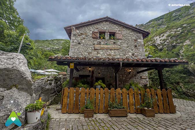
Text and photo report: La Casa del Chiflón.
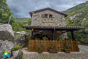
La Chiflon House
The House of the Chiflón is… Read more
Text: © Ramón Molleda for asturias.com