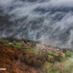


Quirós isn't a large municipality in terms of population, but it is rich in attractions. It covers 208 km² in the south-central part of Asturias, within the Camín Real de la Mesa region . The municipality has 1.150 inhabitants (barely 5,5 per km²) spread across 13 parishes and 63 villages; from Bárzana, the municipal capital, to the beautiful hamlet of Bermiego and its yew tree, over 1.000 years old.
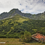
With a rich livestock tradition and a mining past, this municipality offers a vast ethnographic heritage , hermitages and mountain pastures, rural paths, abundant hiking trails, and breathtaking climbs. Its territory stretches from the gentle foothills of the valley villages to the protected landscape of the Sierra del Aramo and the rugged heights of Las Ubiñas.
In Las Ubiñas – La Mesa
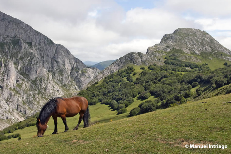
Around 40% of its surface area lies above 1.200 meters in altitude, with the highest point being Fontán Norte at 2.417 meters. Other notable peaks include El Fariñentu (2.147 meters), La Cigalla (2.071 meters), and Gamoniteiru (1.786 meters), as well as the ever-present Peña Rueda (2.155 meters), from whose vicinity the Ricabo and Lindes rivers flow, joining at Santa Marina to form the Quirós River. This river carves out a large corridor that bears its name: the splendid Quirós Valley.
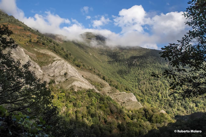
A large part of this municipality belongs to the Las Ubiñas-La Mesa Natural Park , recognized by UNESCO as a Biosphere Reserve in 2012. It is a pristine example of Cantabrian mountain scenery where mature forests, biodiversity, villages, and a long history of human presence coexist. The protected area of this park covers just over 45.000 hectares, with more than thirty peaks exceeding 2.000 meters. In the Quirós area, highlights include the Agüeria mountain passes , the beech forest of the Lindes Valley , the high-altitude pastures, and the glacial and karst landscape surrounding the Ubiña massif.
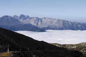
Las Ubiñas-La Mesa Natural Park
This is a magnificent mountainous region with a landscape of strong contrasts, located in the… Read more
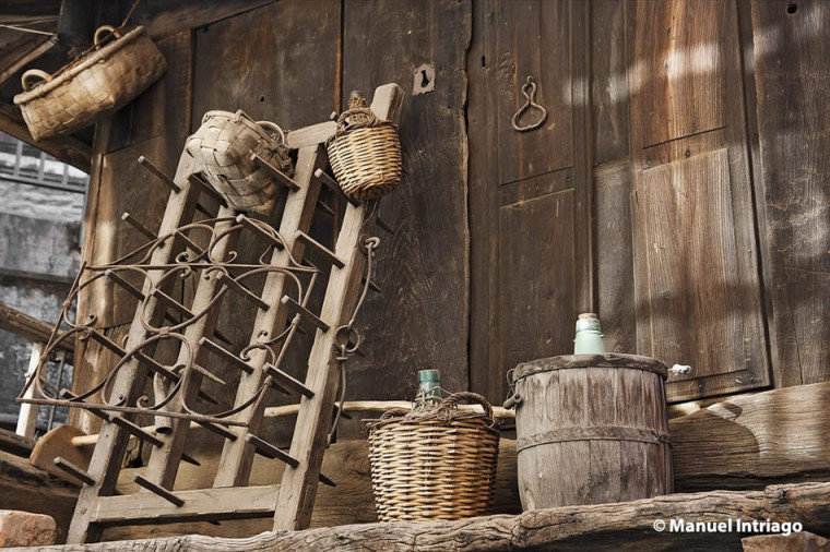
Ethnography in the Quirós Valley
But Quirós is not only a collection of panoramic views, it is also a collection of ancient stories. The Megalithic Necropolis of La Cobertoria , on the border between Lena and Quirós, preserves tumuli and dolmens dating from between the 4th and 2nd millennium BC. The complex includes around six megaliths.
In the Mata'l Casare dolmen , at an altitude of about 1.200 meters, a ring of gold strips worked with a punch was found, one of the first pieces of goldsmithing located in Asturias that is kept in the Archaeological Museum of Asturias.
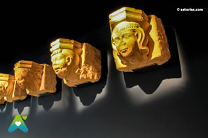
Archaeological Museum of Asturias
The Archaeological Museum of Asturias is located in the very heart of Oviedo, at the rear of the… Read more
As history progressed, the churches, hermitages, manor houses, mills, washhouses, granaries, and bread stores gradually left behind a different kind of heritage map. Within the Romanesque period, the Church of San Pedro de Arrojo stands out , considered one of the most valuable architectural gems in the municipality. Its origins date back to the first third of the 13th century, and it preserves 15th-century mural paintings.
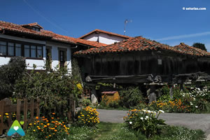
Asturian granaries
Etymologically, the word hórreo comes from the Latin horreum, which designated a building in which… Read more
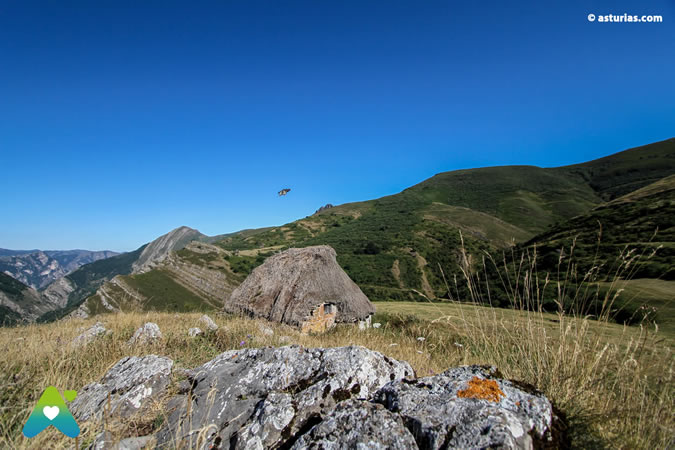
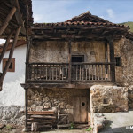
The Quirosan community adapted to the environment with elevated structures such as the hórreo (raised granary) or the panera ( bread storehouse), the latter becoming more widespread after the arrival of corn from the Americas. Folk decoration, blending geometric patterns, human figures, and animals, is present in these granaries. The villages of Aciera, Casares, Coañana, Cienfuegos, and Vallín are vast open-air museums of traditional architecture.
Bermiego stands out in particular , a village that preserves 32 hórreos (raised granaries) and paneras (bread houses), some very old and well-maintained. Its narrow paths, traditional farmhouses, carved woodwork, fountains, and mills create a quintessential Asturian scene. Located on the foothills of the Sierra del Aramo mountain range, this village also offers a sweeping panoramic view over the valley.
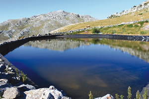
Sierra del Aramo
The pronounced relief of the Aramo contrasts with the gentle outline of the surrounding mountain ranges . Read more
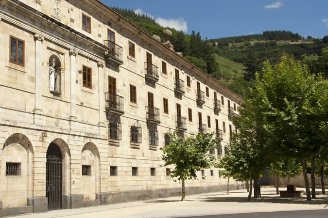
The other major historical layer of Quirós is its industrial past. In the 19th century, iron and coal transformed the valley with mines, washing plants, loading docks, a mining railway, and the blast furnaces of Torales, where cast iron ingots were produced. Part of that history survives in the Quirós Ethnographic Museum , located in San Salvador, next to the old furnaces, and inaugurated in 1998. The museum allows visitors to understand the two souls of the municipality: the rural, with the traditional house, hearth, stable, granary, and trades; and the industrial, with remains of walls, furnaces, and galleries of the old factory built in the 1860s by the Quirós Coal Mining Company.
Nature trails in Quirós
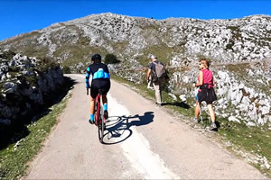
The route of the mining railway through the municipality also shaped the very popular Bear's Trail (Senda del Oso ). The section leading towards the Valdemurio reservoir (built in the 1960s for hydroelectric power) and the town of Santa Marina is one of the most beautiful. It ends near the old El Cribu coal loading dock , a relic of a time when the Xagarín, San Salvador, and other mines were exploited in the area. Coal deposits are documented from 1862, and iron deposits from 1869.
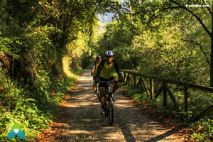
The Path of the Bear
It's an ideal route for hiking and cycling enthusiasts . Its great natural beauty and… Read more
For walking, Quirós offers routes for all audiences and with a lot of ethnographic and landscape content.
The Xanas Route is one of the most popular gorges in central Asturias. Known popularly as the "mini Cares," this 9-kilometer trail is of medium difficulty and has a 437-meter elevation gain. Carved into the rock in the mid-20th century to connect Pedroveya and Dosango with the Trubia Valley, it traverses a gorge with walls up to 100 meters high, tunnels, and walkways.
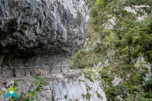
The gorge of the Xanas
The Xanas Gorge is considered the "mini Cares." A much shorter route than the Cares Gorge... Read more
On the way to León, the Camino Real de Puerto Ventana , now linked to the Route of the Relics , crossed Quirós between the Aramo and Sobia mountain ranges, following one of the great historical routes between the Meseta Central and Oviedo. Tradition tells that, in times of war, the Holy Ark was taken to safety in the Asturian mountains, specifically on Monsacro , before being permanently placed in the Holy Chamber of Oviedo Cathedral. This route, also related to the Camino Real de La Mesa , is approximately 40 kilometers long and requires about 16 hours of walking.
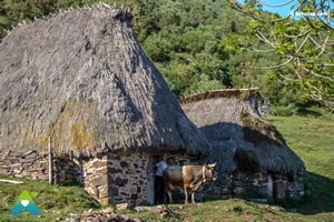
Royal Road of the Table
We propose a proper excursion, which we will absolutely have to take in… Read more
Along this route, Ricabo (or Ricao) , a parish in Quirós located at the start of the old ascent to Puerto Ventana, takes on special significance. Today, part of this track is also a popular route for mountain bikers. From Ricabo, you can also take the turnoff towards Bueida , and from there continue along the historic track to the start of the Puertos de Agüeria trail. The route passes through places like Los Garrafes, the Las Infiestas mountain pasture, the Chaseiro meadow, and the Collada Lingleo (or Fontes) pass, at 1.623 meters. At this point, the landscape opens up dramatically: to the east appears Peña Rueda , to the west the imposing cliffs of Huertos del Diablo and El Ranchón , and below stretches the limestone and livestock-raised oasis of Puertos de Agüeria , one of the most beautiful mountain landscapes in Quirós and all of Asturias.
The municipality also offers excellent opportunities for climbing and mountain enthusiasts. The Quirós climbing area is one of the leading climbing spots in Asturias, with the Refugio del Llano refuge , in the village of the same name, as its key location. At its base rise impressive limestone cliffs that began to be climbed in the 1960s and, since the 1980s, have established the area as one of the Principality's premier climbing destinations. Specialized guidebooks mention some 20 sectors and more than 300 routes , with modern equipment and favorable orientation for climbing throughout much of the year, especially in spring and autumn.
How to get to Quirós
To get to Quirós, the main reference point is Bárzana , the council's capital.
From Oviedo , the usual access route is via Trubia, Proaza, and Caranga. Take the AS-228 towards Proaza and, in Caranga Baxu, connect with the AS-229, which enters Quirós through the Hoces de Valdemurio gorge until reaching Bárzana. The approximate distance from Oviedo is 37,5 km.
From León or the Meseta Central plateau, one option is to take the A-66 to Pola de Lena and from there take the AS-230, climbing to the Alto de La Cobertoria pass and descending towards Santa Marina and Bárzana. From Pola de Lena it's approximately 20 km.
Within the municipality , the main road is the AS-229, which runs through Bárzana and connects several key points in the valley. To reach Ricabo/Ricao, take the QU-3, and for areas like Lindes or Cortes, use the corresponding local roads from the Santa Marina area.
Photographs: © Manuel Intriago on Flickr